
LUT: Krynica - Ropki
Needed water: ok. 2 liters
Possibility of shopping: chance for a grocery store in the villages
Eating at competitions: Ropki
Length: ok. 20 km
Elevations: +770/-810 m
The highest point: Huzary, 864m n. p. m.
Lowest point: Ropki, 525 m n. p
The history of Łemkowyna Ultra Trail… And what is the story. W 2014 the first edition took place in the year. These are the best organized competitions I have participated in, the organizers know what they are doing and it is really worth participating. I recommend it with a clear conscience to people, who are just starting their adventure with mountain running, the competition is really good, however, the route is delicate. Low Beskids is very suitable for running, very good. Certainly a thousand times better (at the beginning of) than the Tatra Mountains or even Beskid Żywiecki. However, this is not the case, not about that.
Start of ŁUT150 is at midnight (ŁUT80 st 1:00), so this one and the next two or three episodes await you at night (sunrise takes place at approx. 7:00, Dawn probably half an hour earlier). Take care of a good headlamp, which will be stable and quite strong shine through 6-7 hours until morning and the next 6 and more hours the next night (if you are running a route 150 km).
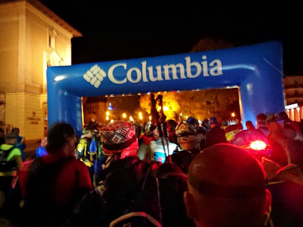 We start on the promenade by the Main Pump Room. On one side there is a neo-renaissance one, old spa house built at the end of the 19th century (characteristic, large, yellow building, it's really hard to miss), right next to it, on the other side of the promenade - a new one, the modernist Main Pump Room built in 70. XX century. Also hard to miss. Right next to the promenade is the New Spa House, built just before the outbreak of World War II, also mordernistic. From Nowotarski Avenue (he was the first director of the health resort in Krynica) we turn following the red trail into the boulevards of Józef Dietl (doctor, policy, the president of Krakow, he is considered the father of balneology, hence the streets in the spa towns are named after him), and after literally two hundred meters into the avenue Nikifor (a painter of Lemko origin). You probably won't even notice this fragment, will be after 80 meters, turn right into Kazimierza Pułaskiego Street (commander of the Bar Confederation, he fought for the freedom of Poland and the USA).
After another kilometer (end of asphalt for now) we fall into the forest and basically the uphill run begins immediately, which will follow 2 km and almost 250 meters up. From the top of the Huzars, there is a three-kilometer descent to Mochnaczka Niżna (ok. 250 m vertically, evenly distributed). Special care should be taken in this section (I suspect, that it is very well marked by the organizers), because the trail produces such excesses and twists, that uh. In Mochnaczka approx. 700 meters, you need to run on asphalt (DK75, rather not very busy in this section), until the crossing with the signpost for Krynica. Here we reflect the exact opposite, from our point of view: right (on the left, at a slight distance, you will see the church of St.. Michael the Archangel, now the church of. Our Lady of Częstochowa) and slowly we climb the slopes of Swarne again (770 m n. p. m.). Generally, you need to get used to such small ascents and ascents.
From Swarny we run down to Banica. History of Banica, similarly to the history of many local villages, it dates back to the Wallachian colonization and almost tragically ends in 1947 the commencement of the action "Vistula". In Banica you can find an Orthodox church dedicated to St.. Kosmy and Damiana, it is located approx. 400 meters north of the site, where the red trail passes through Banica. Another approach awaits you from Banica - approx. 100 meters per 1 km and downhill to the Biała valley, further up the Lipka stream, nice uphill, the wide road ends at the Czerteż Pass, and then there is only a fugitive to Ropki. Here's a note, right after the pass, the trail goes down from the "main" road into a narrower path. But if you missed it, it is worth running downhill until you meet the yellow trail - follow this trail to the left, after approx 150 meters you should return to the red trail.
The history of Ropki dates back to the end of the 16th century, there was a Greek Catholic church there, however, it was moved to the open-air museum in Sanok. The cemetery remained after the church, it is located at the main "intersection" in the village. After approx 1,1 km downhill, on the left side there is the Siwejka guesthouse, in which you will find solace: water, isotonic, cola, warm drinks, biscuits and fruit. For competitions, the time limit at this point is: on ŁUT150 5h, on ŁUT80 4.5h.